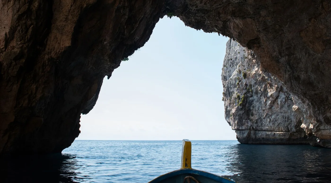
What is Poseidon Cave?
Start with the thing no other page will tell you plainly: there is no cave. The feature sold as “Poseidon Cave” on Zakynthos is a natural limestone formation in the cliffs of Porto Vromi bay, on the island’s west coast, whose silhouette resembles a bearded face in profile. Checks against the Hellenic Speleological Society and Greek cave-registry sources turn up no named or registered cave anywhere at Porto Vromi. The island’s only genuine named cave systems are the Blue Caves in the north and the Keri Caves in the south.
That gap between “cave” and “cliff profile” is exactly where expectations break. Travellers who board a boat expecting a cavern to sail into come back mildly deflated. Travellers who board knowing they are going to spend three hours on the most dramatic coastline in the Ionian, swim in three coves nobody can reach by road, and photograph a rock that looks uncannily like a sea god on the way home, come back delighted. Same trip. Different briefing. This page is the briefing.
Why is it called Poseidon’s Face / Profile?
Because it looks like one. Poseidon was the Greek god of the sea, storms, earthquakes and horses, so a bearded face in a sea cliff is the obvious association for a boat operator to reach for. The resemblance is pareidolia — the ordinary human habit of finding faces in rock — and there is no documented local legend behind it. The Poseidon association appears in tourism copy from roughly the mid-2010s onward; one operator mentions a light-hearted “touch the nose for luck” custom, which is boat lore rather than tradition.
The naming is unstable because nobody owns it. Operators from Porto Vromi Maries tend to say Poseidon’s Profile; others say Poseidon’s Face; one long-running itinerary calls it the Neptune Profile cave, Neptune being the Roman name for the same god; a smaller group of boat-and-minibus tours say Poseidon Cave outright, which is where the search term this site is named for comes from. In Greek the dominant form is Το πρόσωπο του Ποσειδώνα — the face of Poseidon. What does not exist in Greek is Σπηλιά του Ποσειδώνα, Poseidon’s Cave: that is an English-language marketing construction. The formation, its geology and every name, explained →
Where is it?
On the west coast of Zakynthos, in Porto Vromi bay — between the villages of Maries and Anafonitria, a little south of Navagio (Shipwreck Beach), near the small islet of Agios Ioannis. Porto Vromi is about 35 km and 45–50 minutes by car from Zakynthos Town, roughly 22 km from Alykes, 32 km from Laganas and 36 km from Tsilivi.
It is not inside the National Marine Park of Zakynthos, which covers Laganas Bay in the south, and it is not near the famous Blue Caves, which are on the north coast between Agios Nikolaos and Cape Skinari. Distances from every resort, and what it is not near →
Map
No authoritative coordinate for the formation has ever been published — it is a section of cliff wall, not a mapped landmark — so this site does not invent one. The point that matters is the harbour you have to reach. The marker below is Porto Vromi Maries port, the featured operator’s own published meeting point (37.822487° N, 20.634486° E); from there the formation is a few minutes of coastline away and finding it is the skipper’s job.
Larger map on OpenStreetMap ↗ · Marker is Porto Vromi Maries harbour, not the rock. Why there is no pin for the formation itself →
How do you visit it?
By boat, from Porto Vromi, and there are four ways to do that. A scheduled shared boat from Porto Vromi Maries — roughly hourly through the season, about three hours, the default for anyone with a hire car. A land-and-sea day tour with hotel pickup, which is how most people without a car get there; several charge a separate cash boat fee on the day, so read the exclusions. A private charter, priced per boat, which makes sense from four people upward. Or a licence-free hire boat you drive yourself.
The trap is the harbour. Two separate harbours are called Porto Vromi — Maries and Anafonitria — about 250 metres apart on the water and roughly 16 km and half an hour apart by road, with no connecting route. Match the harbour to your operator’s stated meeting point before you set off. How to visit, in full →
Can you reach it from land?
No. The cliffs are sheer, there is no path down and there is no beach at the base — and there is no viewpoint either, because the profile only resolves as a face from a narrow range of angles offshore. Even standing on the clifftop directly above it, you would see cliff. That is not a limitation of the access; it is a property of the rock. Every visit is by sea.
Best boat tours that pass Poseidon Cave
Poseidon’s Face is never sold on its own. It is one stop — usually the last — on the west-coast boat circuit out of Porto Vromi, and what you are actually choosing between is different ways of running that coast. Every trip on this site was checked against its own GetYourGuide listing for the formation by name. That test matters: GetYourGuide’s “Poseidon’s Face” location page also tags south-coast turtle cruises and, when checked in August 2026, a water-park ticket. The location tag proves nothing; the itinerary does. Twenty of the fifty-eight Zakynthos boat listings we scraped pass — including, tellingly, not the island’s single most-reviewed tour, which never mentions the rock.
Three that cover the three common situations — no car, a car, and the lowest price:
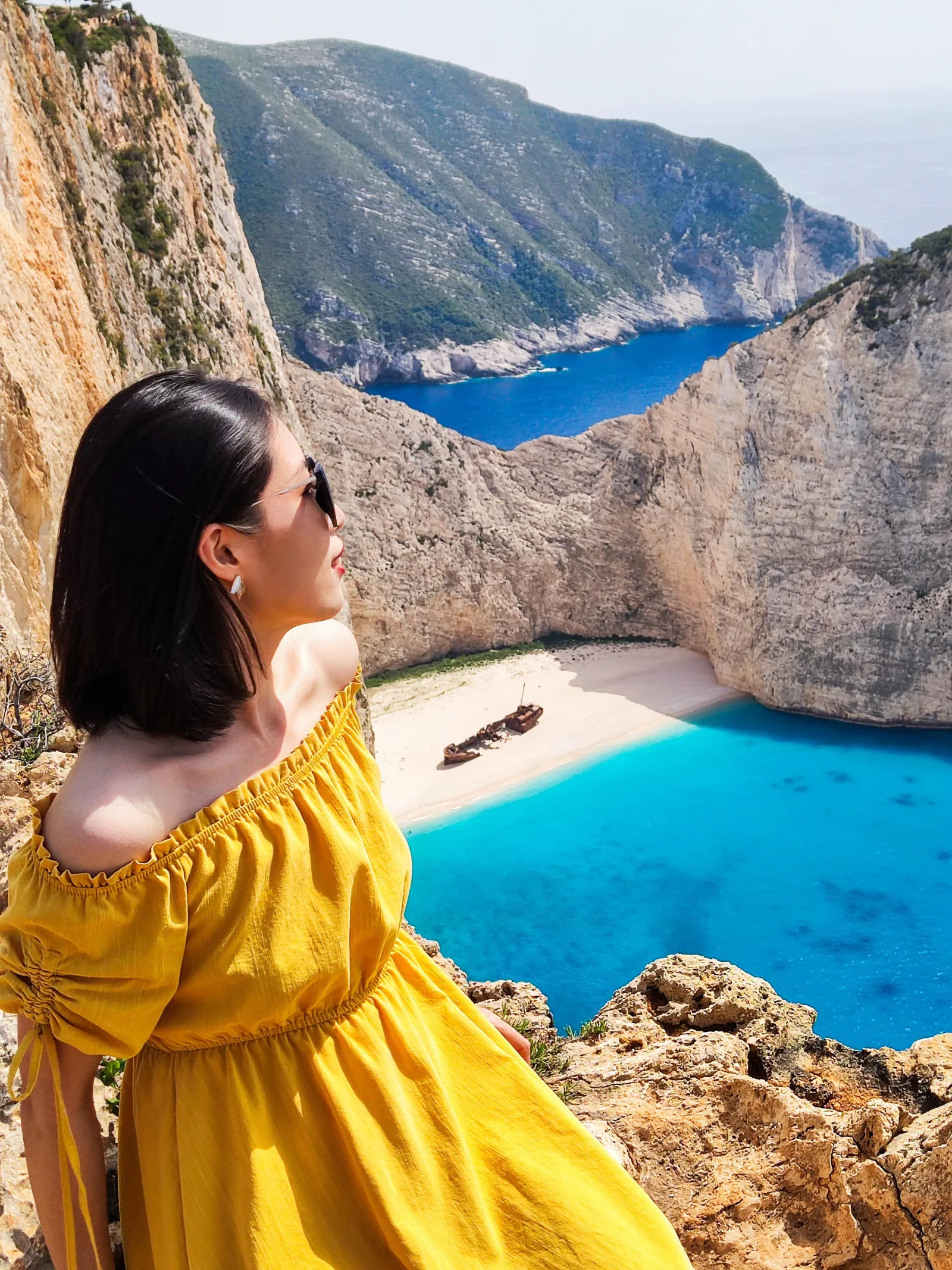 MOST REVIEWED
Zakynthos: Shipwreck Beach & Blue Caves Land and Sea Tour
The full island day by minibus and boat, with hotel pickup — viewpoints, Xigia, the Navagio clifftop, and a five-minute photo stop at Poseidon's Face.
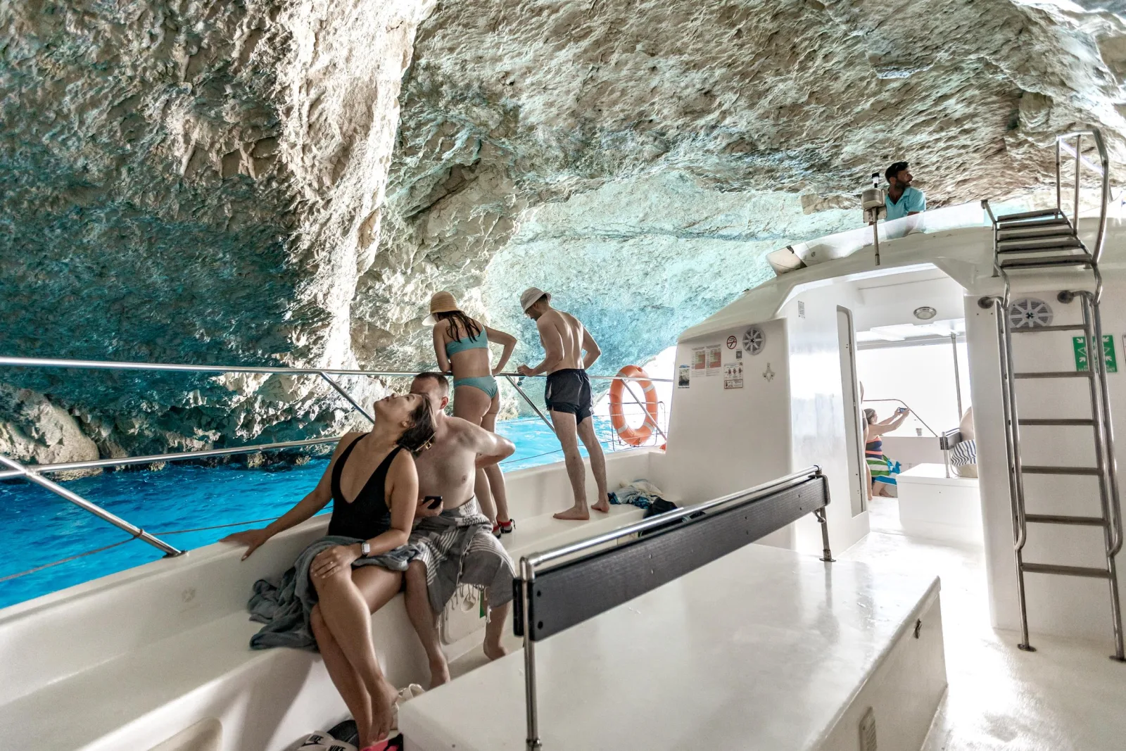 PORTO VROMI BOAT
Porto Vromi: Shipwreck, Caves, & White Beach Swimming Cruise
The classic Porto Vromi boat: Navagio offshore, three swim stops in the west-coast caves and coves, and Poseidon's Profile on the run home.
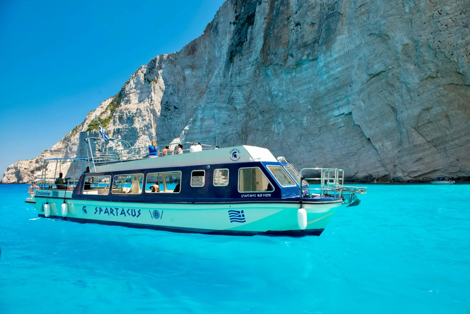 LOWEST PRICE
Zakynthos: Glass-Bottom Boat to Navagio, Caves & White Beach
The cheapest way onto this route. A glass-bottom boat past Navagio, Maravelia Cave, White Beach and Sfogio, with Poseidon's Face on the itinerary.
Compare all six trips that name the formation → or answer four questions and get matched.
What you actually see
A few minutes of cliff, and one good moment. The skipper slows and turns the boat so the profile lines up; the guide indicates the brow and the beard; there is a pause in which half the boat is politely looking at the wrong rock; and then it snaps into place and becomes impossible to unsee. One operator’s published itinerary allows five minutes for the stop, and that is a fair guide everywhere.
Almost every operator takes it on the return leg, running back into Porto Vromi rather than on the way out to Navagio. If you spend the outbound half of the trip scanning the cliffs, you are watching the wrong ones at the wrong time. The rest of the circuit is the real product: Navagio from the water, the west-coast sea caves, and three swim stops no road reaches. The full route, stop by stop →
Can you swim there?
Not at the formation itself — the boat pauses for photographs and moves on. The swimming on this route happens at the coves a short run away: White Beach, the most consistently included stop and usually the longest at around thirty minutes; Sfogio, fine pale sand, sometimes a photo stop rather than a swim; and Porto Steniti, a narrow fjord-like inlet with the clearest water on the coast. All three are rocky entries into deep water, which is why water shoes appear on every packing list on this site. Porto Steniti and the other swim stops →
Best time of day to visit
Morning, for three independent reasons. The cliffs face west, so morning-to-midday light rakes across the relief that makes the profile legible, and the sea caves glow brightest between about 09:00 and noon. The west coast is the island’s exposed side, and its summer sea breeze — the local maistro, not the Aegean Meltemi, which the Ionian is shielded from — builds through the afternoon, so early departures are calmer and far less likely to be cancelled. And the coves are quieter before the fleet fills them. Boats run roughly April or May to October; September is the strongest month overall. Month by month, with sea temperatures →
How long you need
At the formation: a few minutes. For the trip that reaches it: about three hours on the standard Porto Vromi circuit, two hours for a short private charter, and seven to nine hours door to door on a land-and-sea day tour with pickup, of which the boat leg is typically two to two and a half. There is no version shorter than about two hours, because the coast is simply long. Allow fifteen minutes at the harbour before departure, and more than you think for parking in July and August.
Poseidon Cave + Shipwreck Beach
Yes, same trip — they are fifteen to twenty minutes apart on the same Porto Vromi circuit, Navagio first and Poseidon’s Face last. What has changed is what you can do at Navagio: the beach is closed to landings and in-bay swimming through 31 October 2026 under a Greek government decision, with boats held roughly 50 metres offshore because of rockfall from the ~200 m cliffs. Every operator now does a slow offshore pass instead of a beach stop and moves the swimming to White Beach and the coves. You still get the photograph; you do not get the sand. A ~€3.9 million beach-nourishment scheme has been announced, not built. Current status, the wreck’s history and the restoration plan →
Poseidon Cave + Blue Caves
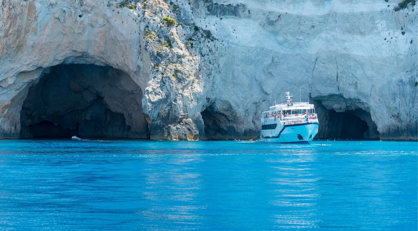
Almost every Porto Vromi trip advertises “blue caves”. Almost none goes to the famous Blue Caves, which are on the north coast between Agios Nikolaos and Cape Skinari and need a boat from those ports. What Porto Vromi itineraries visit are the local west-coast sea caves — Maravelia, the Heart Cave, the “blue eye” — marketed under the same label; one operator writes “the western Blue Caves” verbatim. They are good, and swimmable, and different. A handful of full-day land-and-sea tours genuinely cover both by running the north coast by road and boarding a boat for the west. Read the stop list, not the title. Which departure reaches which →
Porto Vromi departure information
Boats leave Porto Vromi Maries roughly every hour, generally between about 09:00 and 17:00, daily from around May to October with out-of-season trips sometimes by request. Navagio is 15–20 minutes north. Ticket offices operate at the port and online pre-booking is worth it in July and August. Arrive about fifteen minutes early.
The road down is paved but narrow, winding and steep on the final descent. Parking is a small lot at each harbour that fills in peak season, with overflow up the hill. Facilities are minimal and reported inconsistently — bring water, food and sun protection and assume little shade. There is no regular bus; a seasonal resort service has run mid-June to mid-September with limited places and compulsory booking. Both harbours, both roads, and which is which →
Nearby attractions
Everything within reach of the formation is reached the same way — by the boat you are already on. Navagio, fifteen minutes north. The west-coast sea caves — Maravelia, the Heart Cave, the Hidden Treasure Cave. The three swim coves, Sfogio, White Beach and Porto Steniti. By road, the nearest villages are Maries and Anafonitria, with Exo Chora and its 2,000-year-old olive tree and the Navagio clifftop viewpoint above Volimes the usual land-tour add-ons. Further down the west coast, and not on this boat route, Porto Limnionas is the island’s best shore snorkelling.
Photo Gallery
The Zakynthos West Coast
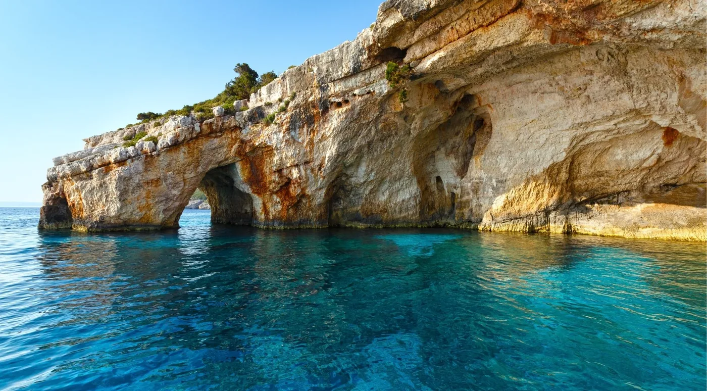
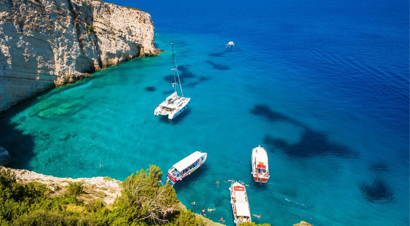
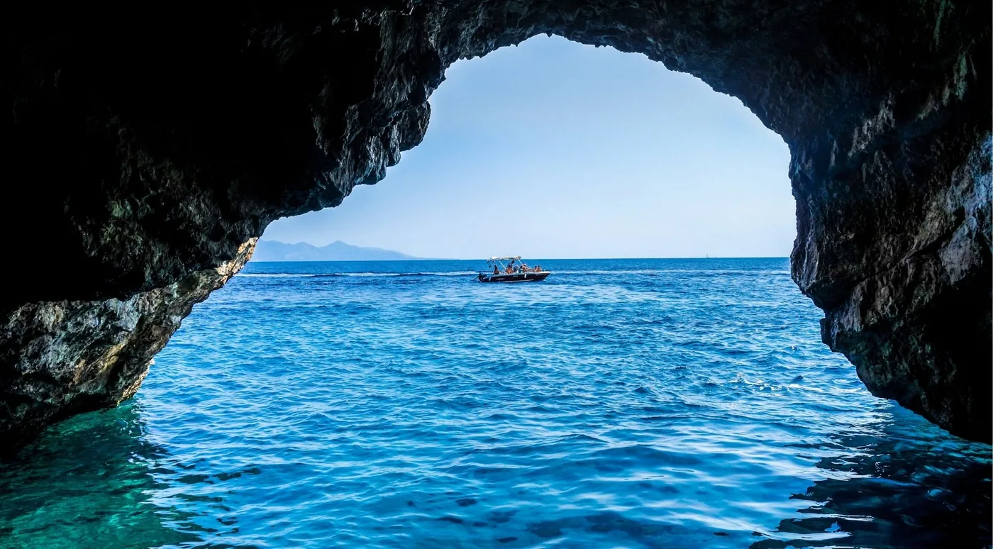
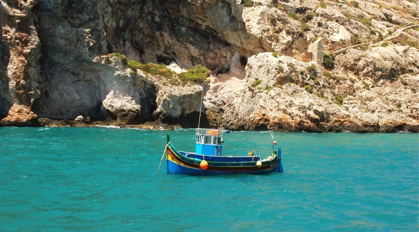
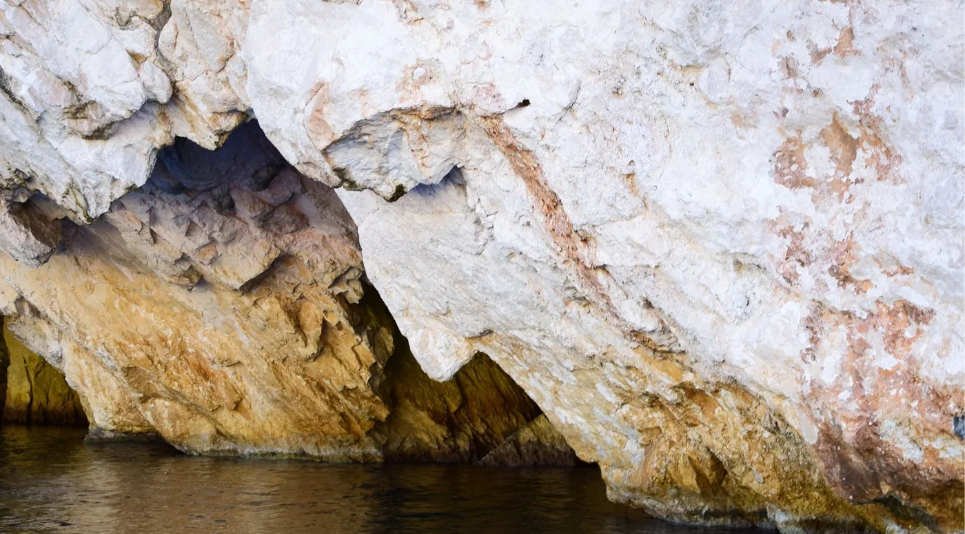
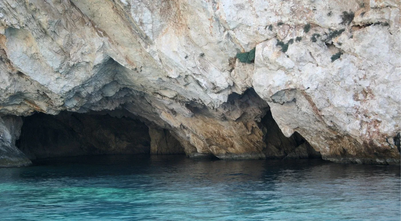
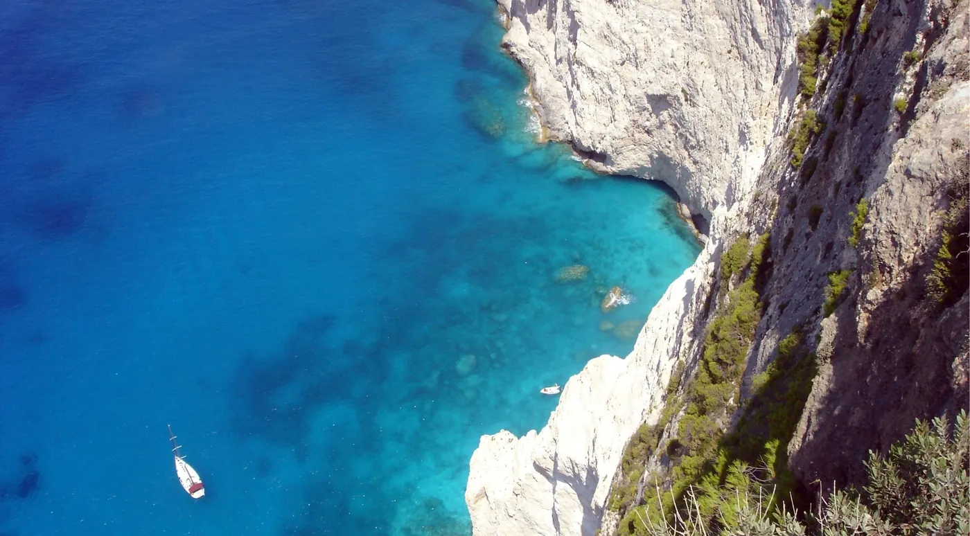
Curated coastline photography. None of these frames claims to be the formation itself — it only reads as a face from one angle offshore.